ISO Certified · Reg. No. 001629057 +968 9824 0783 ents783@gmail.com
EAST NORTHTechnical Services L.L.C

ISO Certified · Salalah, Sultanate of Oman

Precision survey for the land, the sea & everything beneath it.

East North Technical Services delivers drone LiDAR, topographic, bathymetric and GPR surveys, handheld 3D scanning and road design for Oman’s most demanding infrastructure, energy and marine projects.

Drone LiDARMultibeamGPRGNSS RTKRoad Design
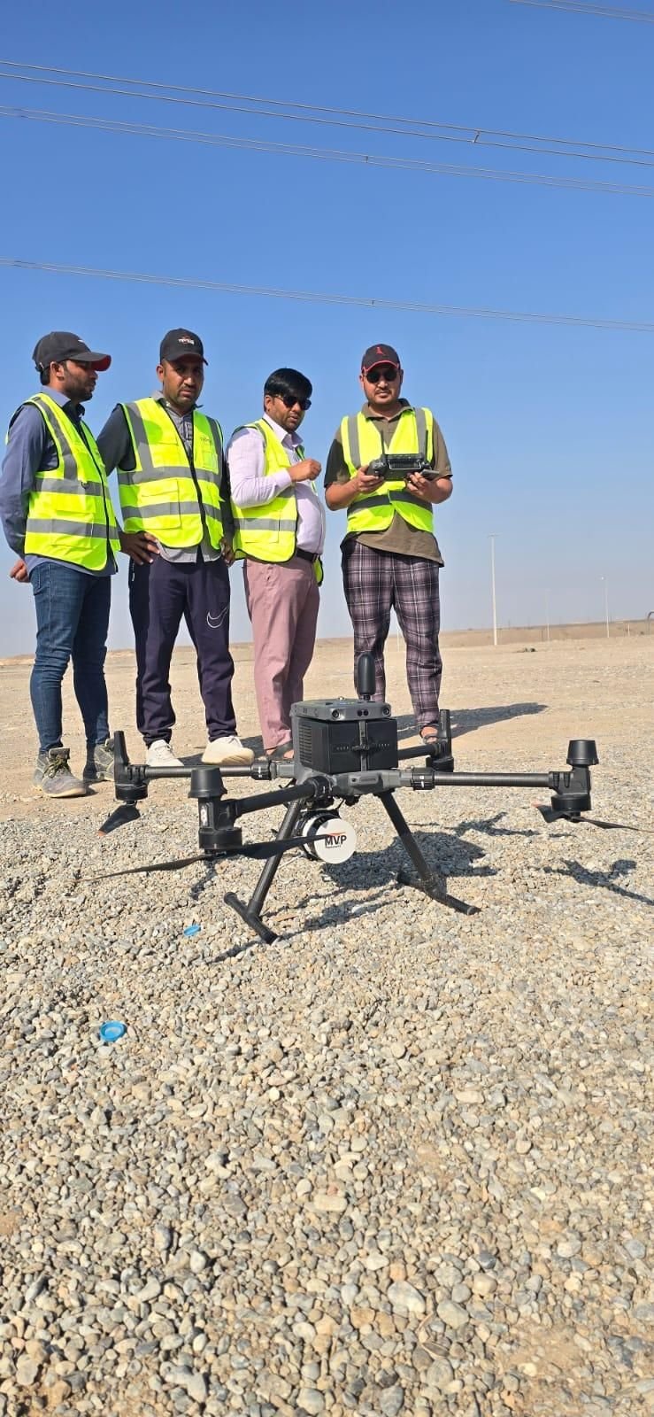
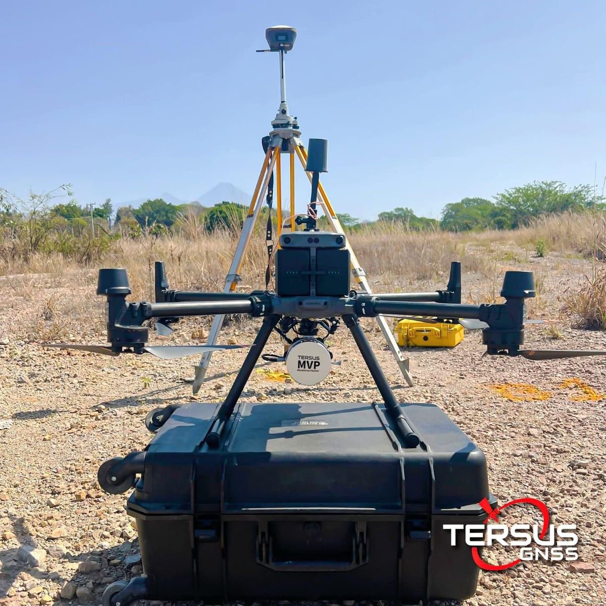
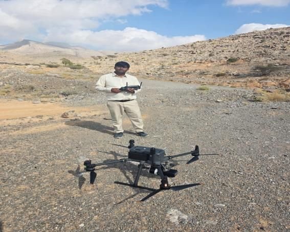
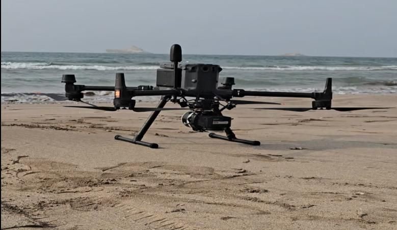
East North Technical Services — Drone M350 Beach, Oman
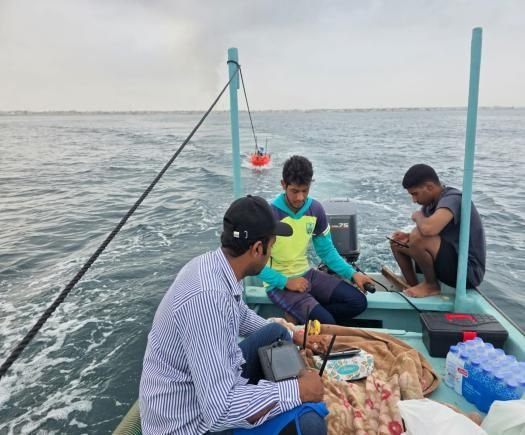
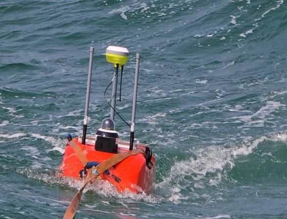
East North Technical Services — Bathy Sonar, Oman
60 kmlongest single drone LiDAR route — Marbat to Sadha
Clients served across Oman
0 +
Longest single survey route
0 km
GNSS RTK rovers in our fleet
0 +
Calibrated total stations
0 +
Senior surveying experience
0 yrs
East North Technical Services — Team Site, Oman
East North Technical Services — Drone Beach, Oman
ISOCertified
Standards

01 — Who we are

A trusted Omani partner built on precision, technology & local expertise.

East North Technical Services L.L.C is a leading surveying and engineering company in the Sultanate of Oman. Our well-trained engineers, surveyors and technicians work with highly sophisticated equipment — DJI drones, GPS RTK, LiDAR scanners, multibeam and single-beam bathymetric systems, ground-penetrating radar and total stations.

From road design and mining support to land surveying, civil construction and landscaping, we deliver major projects for reputable clients across Dhofar and beyond — always on a fair, transparent budget.

02 — What we do

Specialists in every kind of survey — and the design that follows.

One accountable team from route survey through to final engineering drawings, backed by one of the most capable survey fleets in the region.

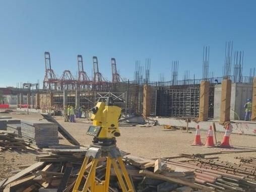
East North Technical Services — Total Station Site, Oman

Land

Topographic & Land Survey

Topographic, detailed and cadastral surveys, stake-out and levelling — our most experienced discipline.

East North Technical Services — Drone M350 Beach, Oman

Air

Drone LiDAR & Aerial Mapping

DJI M350 & VTOL LiDAR for orthophotos, DEMs, corridor mapping and stockpile volumetrics.

East North Technical Services — Bathy Sonar, Oman

Sea

Bathymetric Survey

Multibeam and single-beam echo sounding for ports, harbours, channels, jetties and dredging.

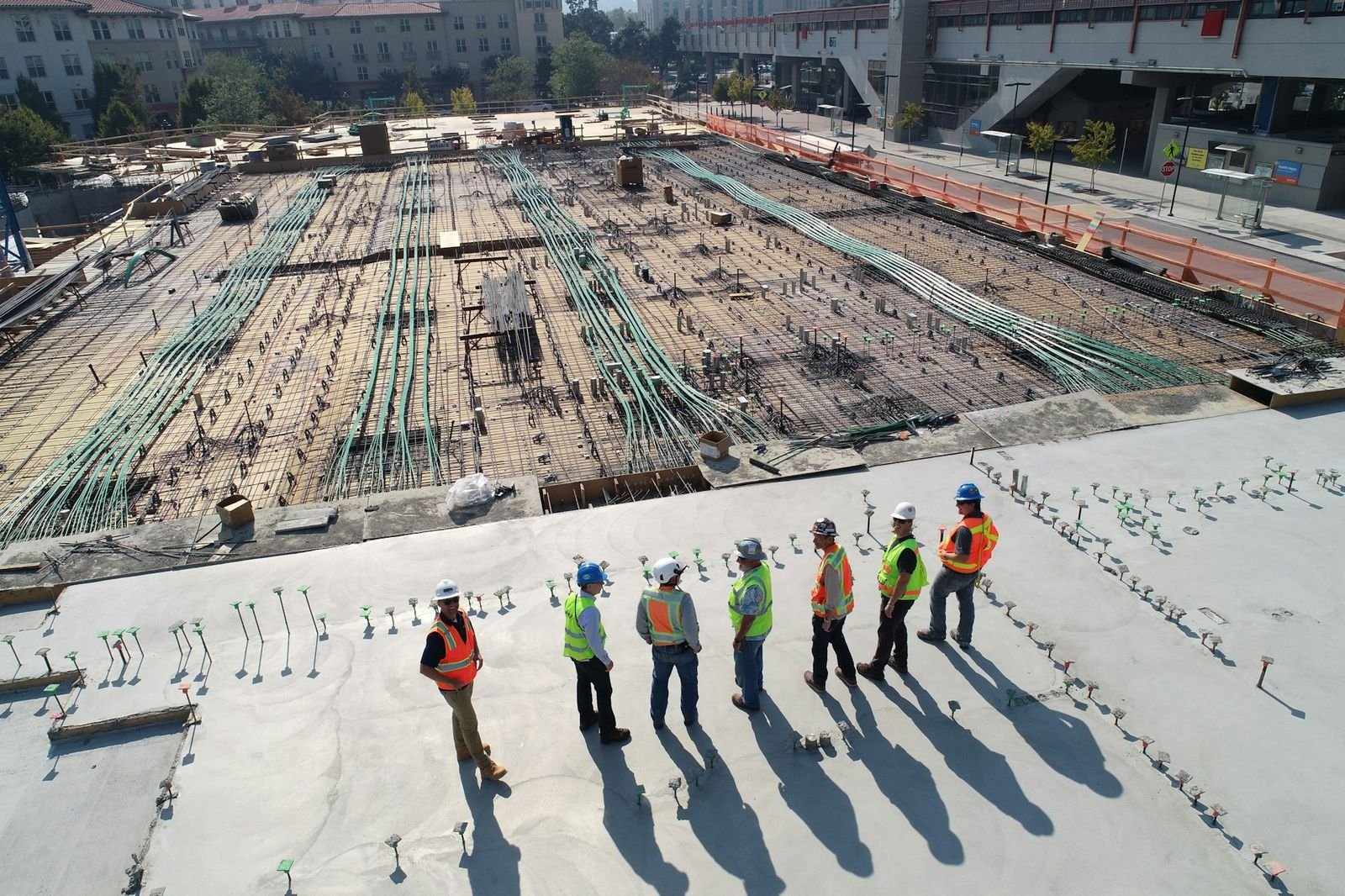
East North Technical Services — Construction, Oman

Subsurface

GPR & Subsurface Utilities

Non-destructive mapping of buried cables, water, gas and fibre networks before excavation begins.

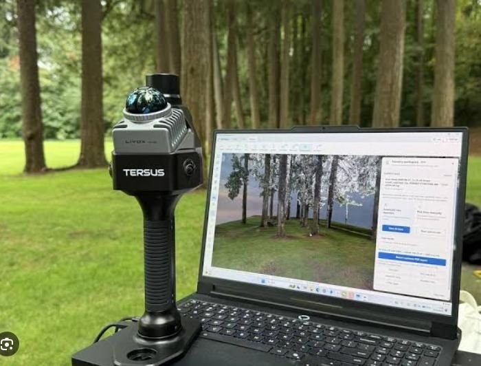
East North Technical Services — Handheld Lidar, Oman

3D

Handheld LiDAR & 3D Scanning

Tersus MVP S1 SLAM scanning with RTK for buildings, heritage sites, plants and interiors.

East North Technical Services — Road Design, Oman

Design

Road Design & Route Survey

Route surveys and complete road design packages — from 20 km plant access to 45 km highways.

03 — Equipment & capability

A modern survey fleet that takes on projects other firms simply cannot.

We invest in technology so our clients get denser data, faster turnarounds and fewer return visits to site.

DJI M350 & Sawan K1 VTOLAerial LiDAR & photogrammetry
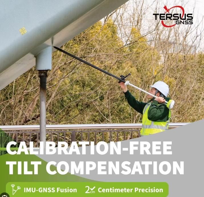
15+ GNSS RTK roversCentimetre positioning, 60° tilt IMU
Multibeam & single-beamBathymetric & marine survey
Ground Penetrating RadarSub-surface utility detection
Leica · Sokkia · Tersus10+ calibrated total stations
Tersus MVP S1Handheld 360° LiDAR, 2 cm accuracy
04 — Flagship projects

Proven on the largest survey routes in the region.

Selected work for ministries, contractors and consultants across Dhofar, Al Batinah and Al Wusta.

East North Technical Services — Drone Desert, Oman

Drone LiDAR · 60 km

Marbat → Sadha OHL Route

60 km overhead-line route drone LiDAR survey through mountainous terrain.

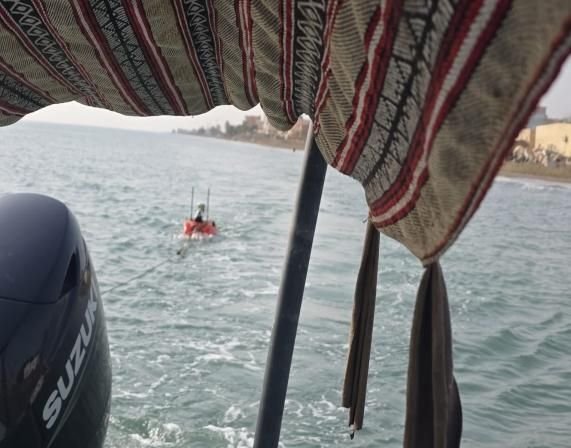
East North Technical Services — Boat 2, Oman

Bathymetry · MOD

Marbat Multibeam Survey

3.5 km multibeam bathymetric survey for MOD with China Harbour Company.

East North Technical Services — Site Team, Oman

Road design · 45 km

N. Shallot Road Design

45 km road design package delivered with Meridian Engineering Consultancy.

East North Technical Services — Sonar Sea, Oman

Bathymetry · Duqm

Duqm Ammonia Plant

Bathymetric survey at Duqm for the ammonia plant marine works.

05 — How we work

From brief to Civil 3D deliverables — one accountable team.

01

Brief & reconnaissance

We define scope, accuracy, control and deliverables, then plan the right sensors for the terrain.

02

Field acquisition

Drone, RTK, total station, sonar or GPR crews capture data safely and efficiently on site.

03

Processing & QA

Point clouds, surfaces and sonar data are processed, checked against control and verified.

04

Engineering deliverables

CAD & Civil 3D drawings, DEMs, orthophotos, volumes, reports and road designs — on time.

Authorised dealer

Tersus GNSS — Oscar GPS sales, rental support & repair in Oman.

We are a certified dealer for Tersus survey instruments, including Oscar GNSS RTK receivers, TAS total stations and the MVP S1 handheld LiDAR scanner — with full sales, training and repair service from Salalah.

East North Technical Services — Rtk Tilt, Oman

06 — Trusted by 100+ organisations

Ministries, ports, contractors & consultants rely on us.

  • Ministry of Defence (MOD)
  • Port of Salalah Raysut
  • National Engineering Office
  • China Harbour Company
  • Oman Building Contracting Co.
  • Meridian Engineering Consultancy
  • Bin Zeban Contracting
  • Raysut Cement Company
  • Bahwan Projects & Telecom
  • Dhofar Municipality
  • Ministry of Tourism, Salalah
  • Al Arabia National Engineering
  • Shanfari & Partners
  • GISHUB Muscat
  • Marine Star Company
  • Ezz Company, Salalah

Start a project

Let’s map your next project — to the centimetre.

Share your site location, route length or survey area and the deliverables you need. Our engineers will come back with a clear scope, timeline and a fair, transparent quotation.

Request a survey quotation

We usually reply within one working day.